Starting Friday temperatures in the mid to upper 90s will be common through the weekend. Some increase in humidity will also occur. There is a small chance we could hit 100 on Sunday.
The combination of heat and humidity will support heat indices, or what it feels like, in the lower 100s.
The heat index is scientifically based on a combination of temperature and relative humidity that affects the body’s ability to cool itself, or in layman’s terms, how it really feels outside. During hot and very dry conditions, evaporation is much more efficient in helping the body cool. During hot and very humid conditions, evaporation is much slower and therefore cooling is less effective. That’s why you’ve heard people say, “it’s not the heat, it’s the humidity.”
I would expect a Heat Advisory to be in effect if this forecast remains intact. Please take it easy during these hot afternoons.
Some heat-related illnesses and their symptoms are:
Heat Cramps – Heavy sweating and painful muscle spasms usually in the legs or abdomen.
Heat Exhaustion – The person becomes weak and sweats heavily. The skin becomes cold, pale and clammy. The pulse becomes weak and shallow with fainting and vomiting quite possible.
Heat Stroke/Sun Stroke – High body temperature (106 degrees F or higher) along with hot dry skin and a rapid and strong pulse. A person can lose consciousness and die.
Drink plenty of water and take it easy during this heatwave. Heat-related illnesses can sneak up on you quickly.
Courtesy of The National Weather Service

I grew up an Air Force Brat. Traveled the country and lived in Georgia, Maine, New York, Hawaii and Oklahoma.
I fell in love with the weather in Oklahoma. My father was transferred to Tinker AFB in 1973. While in Temporary housing (a mobile home, which is the standard in Oklahoma) I experienced my first severe thunderstorm with strong winds and hail the size of baseballs. The next day I was in the base library looking up books on weather. The rest is history.
I graduated from the University of Oklahoma in 1983 with a Bachelor’s Degree in Meteorology. The first two years we took Calculus, Differential equations, Physics, Chemistry and Computer science classes with the Engineering Students. It was a grind. My degree is actually from the College of Engineering. The last 2-3 year’s focus was on Meteorology including Observational networks (Satellite, Radar, Surface), Physics, Thermodynamics, Dynamics, Synoptic, Winter Weather, Severe Weather and Climatology.
My first job out of college was with a small forecasting company in Oklahoma City. I was immediately put on TV (OETA) and Radio (WKY) as their broadcast Meteorologist. After two years in broadcasting, I decided to pursue the National Weather Service route and got a position in Toledo, OH as an intern. After a couple of years, I was promoted to a forecaster position at the Cleveland Forecast office. I quickly moved into the Weather Preparedness position and was responsible for all the preparedness activities in the state of Ohio.
In 1992 I decided to pursue other forecast opportunities and moved to the Meteorological Operations Division of the National Meteorological Center in Washington, DC. This group is now called WPC (Weather Prediction Center). There I fine-tuned my forecasting of Synoptic Weather with my focus on Heavy Convective Rainfall and Winter Storms, under the supervision of Dr. Louis Uccellini. He has written several books on East Coast Winter storms. I was promoted to a Senior Branch Forecast position during my tenure at MOD. Part of my job was to teach weather classes at COMET (Cooperative Program for Operational Meteorology, Education, and Training).
In 2012 I was given the opportunity to start up a new weather support group with the FAA (Federal Aviation Administration) in Warrenton, VA at the ATCSSC (Air Traffic Control System Command Center). The ATCSCC is where the FAA identifies solutions to air traffic inefficiencies in the NAS (National Air Space) for the CONUS (Continental United State). Weather impacts are the biggest impact on Aviation with yearly losses over 20 billion dollars. My job was to help lower these inefficiencies/costs by providing weather impact briefings and forecasts in order to keep the air planes moving as safely and efficiently as possible.
I retired in 2022 and now am running Lake Anna Weather, LLC.
Subscribe for Updates
Sponsors
latest articles
Coastal Chic Permanent Jewelry to Make Debut at Lake Anna Home Tour [Sponsored]
![Featured image for “Coastal Chic Permanent Jewelry to Make Debut at Lake Anna Home Tour [Sponsored]”](https://lakeanna.online/wp-content/uploads/2026/02/CC4.jpg)
Congratulations to Lake Anna Idol Winners [Photo Gallery]
![Featured image for “Congratulations to Lake Anna Idol Winners [Photo Gallery]”](https://lakeanna.online/wp-content/uploads/2026/02/1-scaled.png)
Fish Fry Fridays in Mineral through March

From One Poodle to a Full Pack: Inside Louisa County Poodles & Doodles [Sponsored]
![Featured image for “From One Poodle to a Full Pack: Inside Louisa County Poodles & Doodles [Sponsored]”](https://lakeanna.online/wp-content/uploads/2026/02/1-scaled.jpg)
Mineral Express Purchased by Owner of Elk Creek Store

$900M Kalahari Resort Set to Open in Spotsylvania County this Fall

Starting Friday temperatures in the mid to upper 90s will be common through the weekend. Some increase in humidity will also occur. There is a small chance we could hit 100 on Sunday.
The combination of heat and humidity will support heat indices, or what it feels like, in the lower 100s.
The heat index is scientifically based on a combination of temperature and relative humidity that affects the body’s ability to cool itself, or in layman’s terms, how it really feels outside. During hot and very dry conditions, evaporation is much more efficient in helping the body cool. During hot and very humid conditions, evaporation is much slower and therefore cooling is less effective. That’s why you’ve heard people say, “it’s not the heat, it’s the humidity.”
I would expect a Heat Advisory to be in effect if this forecast remains intact. Please take it easy during these hot afternoons.
Some heat-related illnesses and their symptoms are:
Heat Cramps – Heavy sweating and painful muscle spasms usually in the legs or abdomen.
Heat Exhaustion – The person becomes weak and sweats heavily. The skin becomes cold, pale and clammy. The pulse becomes weak and shallow with fainting and vomiting quite possible.
Heat Stroke/Sun Stroke – High body temperature (106 degrees F or higher) along with hot dry skin and a rapid and strong pulse. A person can lose consciousness and die.
Drink plenty of water and take it easy during this heatwave. Heat-related illnesses can sneak up on you quickly.
Courtesy of The National Weather Service

I grew up an Air Force Brat. Traveled the country and lived in Georgia, Maine, New York, Hawaii and Oklahoma.
I fell in love with the weather in Oklahoma. My father was transferred to Tinker AFB in 1973. While in Temporary housing (a mobile home, which is the standard in Oklahoma) I experienced my first severe thunderstorm with strong winds and hail the size of baseballs. The next day I was in the base library looking up books on weather. The rest is history.
I graduated from the University of Oklahoma in 1983 with a Bachelor’s Degree in Meteorology. The first two years we took Calculus, Differential equations, Physics, Chemistry and Computer science classes with the Engineering Students. It was a grind. My degree is actually from the College of Engineering. The last 2-3 year’s focus was on Meteorology including Observational networks (Satellite, Radar, Surface), Physics, Thermodynamics, Dynamics, Synoptic, Winter Weather, Severe Weather and Climatology.
My first job out of college was with a small forecasting company in Oklahoma City. I was immediately put on TV (OETA) and Radio (WKY) as their broadcast Meteorologist. After two years in broadcasting, I decided to pursue the National Weather Service route and got a position in Toledo, OH as an intern. After a couple of years, I was promoted to a forecaster position at the Cleveland Forecast office. I quickly moved into the Weather Preparedness position and was responsible for all the preparedness activities in the state of Ohio.
In 1992 I decided to pursue other forecast opportunities and moved to the Meteorological Operations Division of the National Meteorological Center in Washington, DC. This group is now called WPC (Weather Prediction Center). There I fine-tuned my forecasting of Synoptic Weather with my focus on Heavy Convective Rainfall and Winter Storms, under the supervision of Dr. Louis Uccellini. He has written several books on East Coast Winter storms. I was promoted to a Senior Branch Forecast position during my tenure at MOD. Part of my job was to teach weather classes at COMET (Cooperative Program for Operational Meteorology, Education, and Training).
In 2012 I was given the opportunity to start up a new weather support group with the FAA (Federal Aviation Administration) in Warrenton, VA at the ATCSSC (Air Traffic Control System Command Center). The ATCSCC is where the FAA identifies solutions to air traffic inefficiencies in the NAS (National Air Space) for the CONUS (Continental United State). Weather impacts are the biggest impact on Aviation with yearly losses over 20 billion dollars. My job was to help lower these inefficiencies/costs by providing weather impact briefings and forecasts in order to keep the air planes moving as safely and efficiently as possible.
I retired in 2022 and now am running Lake Anna Weather, LLC.
Subscribe for Updates
Sponsors
latest articles
Coastal Chic Permanent Jewelry to Make Debut at Lake Anna Home Tour [Sponsored]
![Featured image for “Coastal Chic Permanent Jewelry to Make Debut at Lake Anna Home Tour [Sponsored]”](https://lakeanna.online/wp-content/uploads/2026/02/CC4.jpg)
Congratulations to Lake Anna Idol Winners [Photo Gallery]
![Featured image for “Congratulations to Lake Anna Idol Winners [Photo Gallery]”](https://lakeanna.online/wp-content/uploads/2026/02/1-scaled.png)
Fish Fry Fridays in Mineral through March

From One Poodle to a Full Pack: Inside Louisa County Poodles & Doodles [Sponsored]
![Featured image for “From One Poodle to a Full Pack: Inside Louisa County Poodles & Doodles [Sponsored]”](https://lakeanna.online/wp-content/uploads/2026/02/1-scaled.jpg)
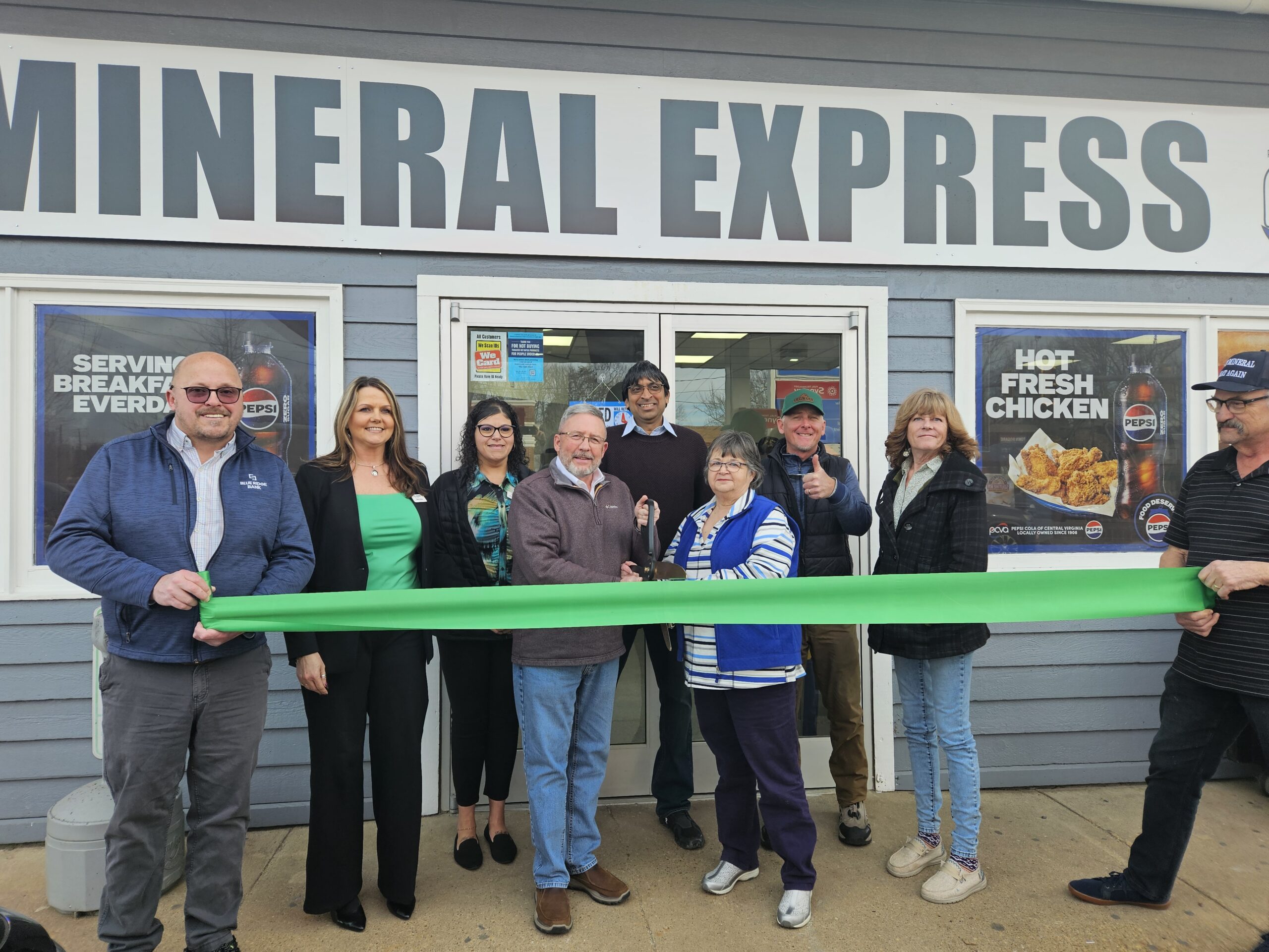
Mineral Express Purchased by Owner of Elk Creek Store

$900M Kalahari Resort Set to Open in Spotsylvania County this Fall

Spotsylvania Tourism Growth Outpaces Statewide Averages with 35% Surge Since 2019
Article By Jen Bailey
![Featured image for “[Spotsylvania] New Speed Enforcement in School Zones”](https://lakeanna.online/wp-content/uploads/2025/09/Blog-pic-scaled.jpg)
[Spotsylvania] New Speed Enforcement in School Zones
Article By Jen Bailey


