Basin Map Courtesy of Randy Thomas.
Consensus seems to agree that the Upper part of Lake Anna is defined as the area above the Splits. This border is from just below Rose Valley to the State Park. The Middle is from the Splits to around the Power Plant, and the Lower is below the Power Plant.
The Watershed (see map) is the drainage basin that feeds the lake. It’s 342 square miles, with the largest portion feeding the Upper lake and the smaller portion the Middle and Lower parts of the lake.
The Lower portion is about 30 square miles and directly feeds about 2/3rds of the lake. The land use in the Lower portion is mostly homes with very little farmland. There are no major rivers, but many small streams and creeks. Runoff from these areas is usually not very muddy and short-lived. This is why the Middle and Lower portions tend to remain clear throughout the year.
The Upper portion is about 312 square miles (about 10 times the Middle and Lower basins’ drainage) and directly feeds about 1/3rd of the lake. Eventually, this water works its way into the Middle and Lower basins. This area encompasses much of Orange and the northwest portion of Louisa counties. The land use is mostly farmland, and there is one river, creek, and run that feed this area. Almost all of the three water sources start in Orange County, from several smaller streams and creeks. The North Anna River, which also gains water from northwest Louisa County, flows into the southern branch of the Splits. Pamunkey Creek feeds the middle branch of the Splits, and Terry’s Run feeds the northern branch of the Splits.
Since most of this area is farmland, when there is heavy rainfall, the runoff becomes loaded with silt, especially during the winter months, when there are very few crops growing to hold the soil in place. This, along with the size of the basin, is the reason why the area above the Splits tends to be muddier. When we get a big rainfall over the Upper basin, we can sometimes see very muddy water working slowly down the lake over several days. This mudline tends to end around the Splits, where the water flow slows, the lake broadens, and depth increases, which allows the silt to settle out before moving further down the lake.
Lake Anna “Full Pool” is 250 feet above mean sea level at the dam. It is measured in tenths of feet, with measurements taken Monday through Friday mornings. This is the preferred level of the lake for optimal use for recreation and Dominion Energy. When the lake levels exceed 250 feet above MSL, Dominion can open between 1 and 3 gates to let out water. At 265 feet above MSL, water would top the dam. Lower levels cause some restrictions in water release, but there are regulations in place to maintain a specific flow rate of the North Anna River below the dam.

I grew up an Air Force Brat. Traveled the country and lived in Georgia, Maine, New York, Hawaii and Oklahoma.
I fell in love with the weather in Oklahoma. My father was transferred to Tinker AFB in 1973. While in Temporary housing (a mobile home, which is the standard in Oklahoma) I experienced my first severe thunderstorm with strong winds and hail the size of baseballs. The next day I was in the base library looking up books on weather. The rest is history.
I graduated from the University of Oklahoma in 1983 with a Bachelor’s Degree in Meteorology. The first two years we took Calculus, Differential equations, Physics, Chemistry and Computer science classes with the Engineering Students. It was a grind. My degree is actually from the College of Engineering. The last 2-3 year’s focus was on Meteorology including Observational networks (Satellite, Radar, Surface), Physics, Thermodynamics, Dynamics, Synoptic, Winter Weather, Severe Weather and Climatology.
My first job out of college was with a small forecasting company in Oklahoma City. I was immediately put on TV (OETA) and Radio (WKY) as their broadcast Meteorologist. After two years in broadcasting, I decided to pursue the National Weather Service route and got a position in Toledo, OH as an intern. After a couple of years, I was promoted to a forecaster position at the Cleveland Forecast office. I quickly moved into the Weather Preparedness position and was responsible for all the preparedness activities in the state of Ohio.
In 1992 I decided to pursue other forecast opportunities and moved to the Meteorological Operations Division of the National Meteorological Center in Washington, DC. This group is now called WPC (Weather Prediction Center). There I fine-tuned my forecasting of Synoptic Weather with my focus on Heavy Convective Rainfall and Winter Storms, under the supervision of Dr. Louis Uccellini. He has written several books on East Coast Winter storms. I was promoted to a Senior Branch Forecast position during my tenure at MOD. Part of my job was to teach weather classes at COMET (Cooperative Program for Operational Meteorology, Education, and Training).
In 2012 I was given the opportunity to start up a new weather support group with the FAA (Federal Aviation Administration) in Warrenton, VA at the ATCSSC (Air Traffic Control System Command Center). The ATCSCC is where the FAA identifies solutions to air traffic inefficiencies in the NAS (National Air Space) for the CONUS (Continental United State). Weather impacts are the biggest impact on Aviation with yearly losses over 20 billion dollars. My job was to help lower these inefficiencies/costs by providing weather impact briefings and forecasts in order to keep the air planes moving as safely and efficiently as possible.
I retired in 2022 and now am running Lake Anna Weather, LLC.
Subscribe for Updates
Sponsors
latest articles
[Sponsored] Raised to Life: Tent Revival Returns to Its Roots at Lake Anna
![Featured image for “[Sponsored] Raised to Life: Tent Revival Returns to Its Roots at Lake Anna”](https://lakeanna.online/wp-content/uploads/2025/07/Blog-pic.png)
Plan Ahead for a Safe and Sober Holiday Weekend on the Water [Photo Gallery]
![Featured image for “Plan Ahead for a Safe and Sober Holiday Weekend on the Water [Photo Gallery]”](https://lakeanna.online/wp-content/uploads/2025/06/DFW-RIde-Along-8104.jpg)
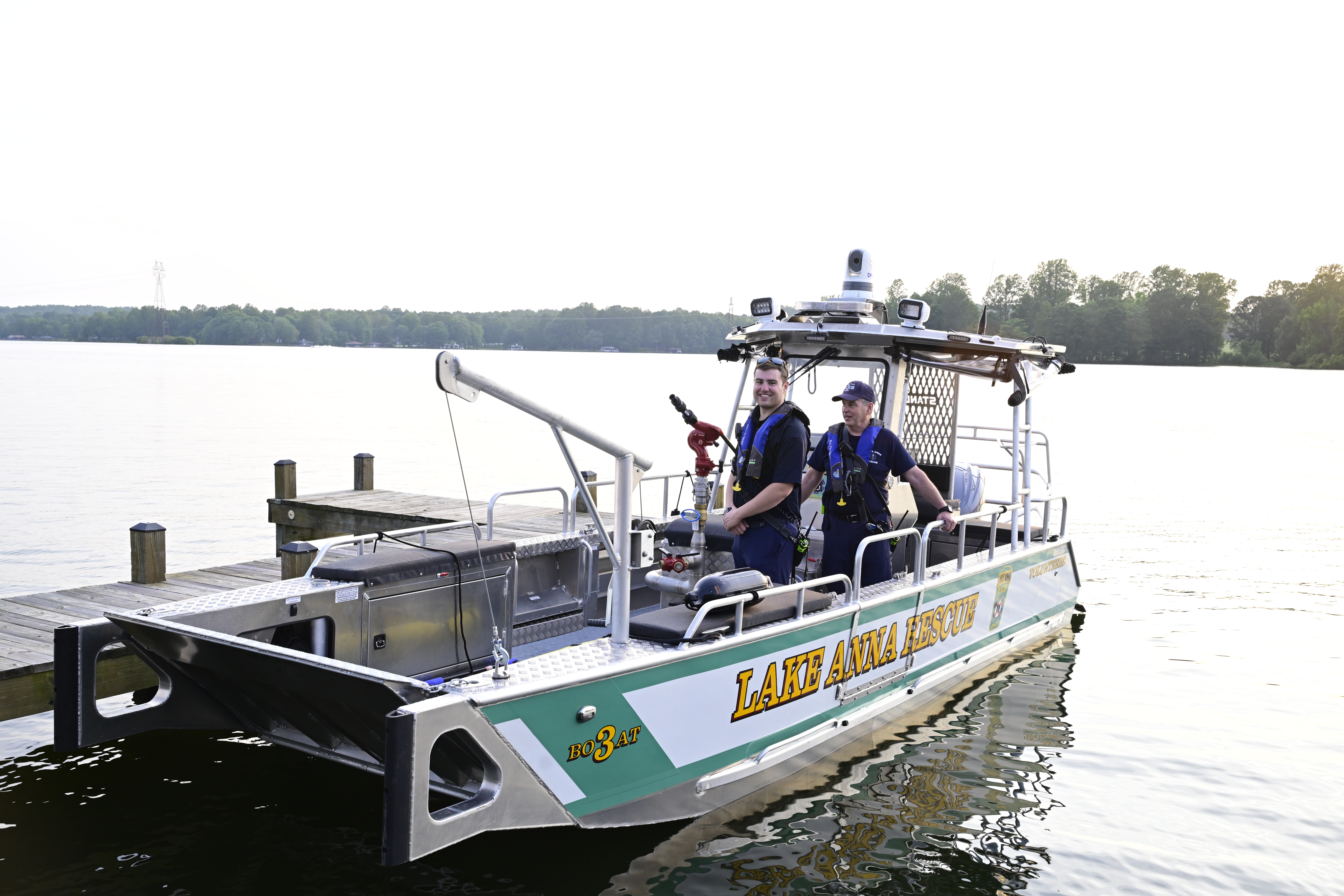
Fully Community-Funded Rescue Boat Brings Life-Saving Power to the Water

[Sponsored] Holmes on Homes: Business Built on Trust, Grit and Quality
![Featured image for “[Sponsored] Holmes on Homes: Business Built on Trust, Grit and Quality”](https://lakeanna.online/wp-content/uploads/2025/06/FinalHolmes-1.jpg)
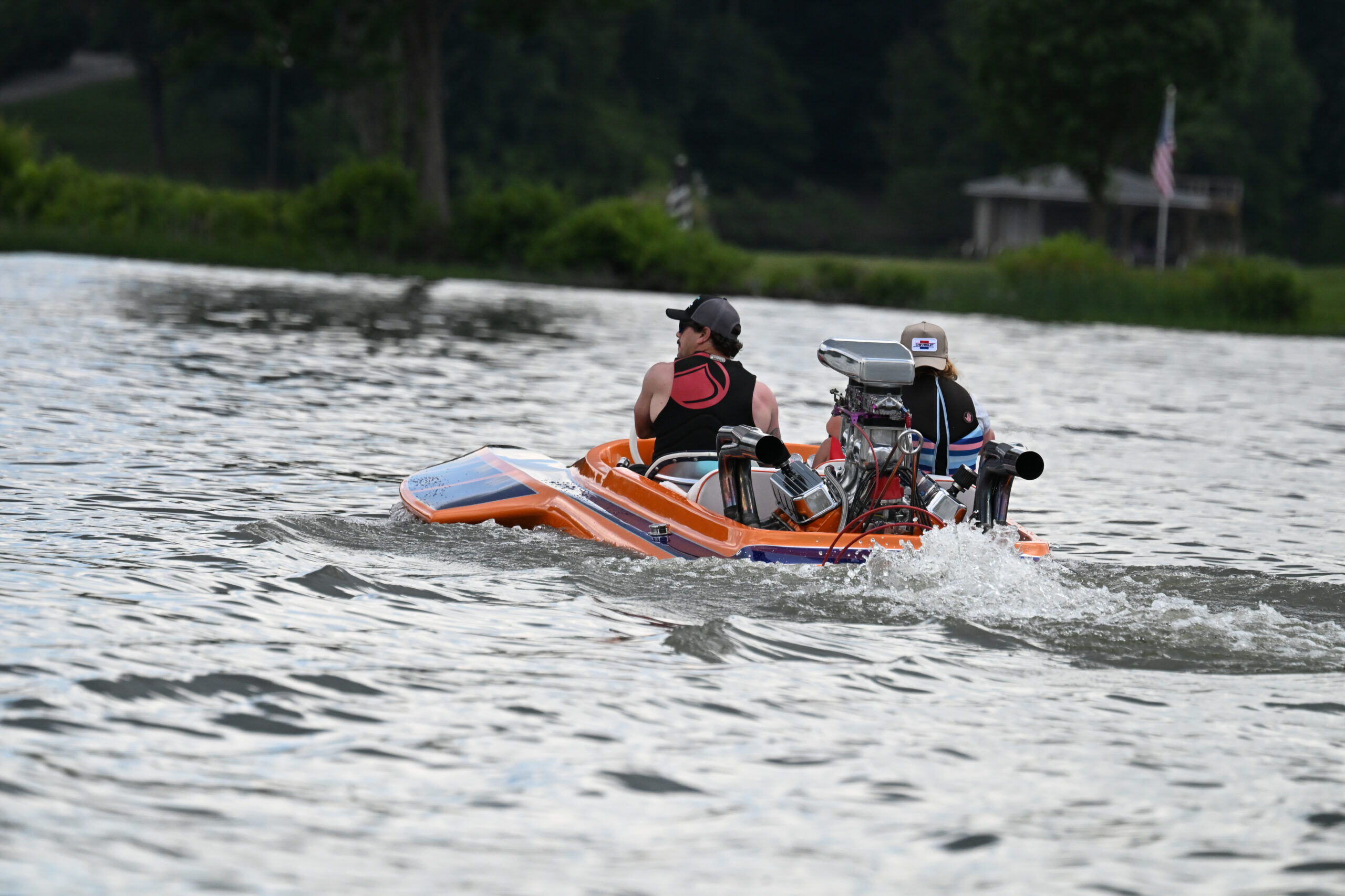
Jet Boat Community Celebrates Service and Safety at 2025 Lake Anna Invasion

Best of Lake Anna Corrections & Announcements

Basin Map Courtesy of Randy Thomas.
Consensus seems to agree that the Upper part of Lake Anna is defined as the area above the Splits. This border is from just below Rose Valley to the State Park. The Middle is from the Splits to around the Power Plant, and the Lower is below the Power Plant.
The Watershed (see map) is the drainage basin that feeds the lake. It’s 342 square miles, with the largest portion feeding the Upper lake and the smaller portion the Middle and Lower parts of the lake.
The Lower portion is about 30 square miles and directly feeds about 2/3rds of the lake. The land use in the Lower portion is mostly homes with very little farmland. There are no major rivers, but many small streams and creeks. Runoff from these areas is usually not very muddy and short-lived. This is why the Middle and Lower portions tend to remain clear throughout the year.
The Upper portion is about 312 square miles (about 10 times the Middle and Lower basins’ drainage) and directly feeds about 1/3rd of the lake. Eventually, this water works its way into the Middle and Lower basins. This area encompasses much of Orange and the northwest portion of Louisa counties. The land use is mostly farmland, and there is one river, creek, and run that feed this area. Almost all of the three water sources start in Orange County, from several smaller streams and creeks. The North Anna River, which also gains water from northwest Louisa County, flows into the southern branch of the Splits. Pamunkey Creek feeds the middle branch of the Splits, and Terry’s Run feeds the northern branch of the Splits.
Since most of this area is farmland, when there is heavy rainfall, the runoff becomes loaded with silt, especially during the winter months, when there are very few crops growing to hold the soil in place. This, along with the size of the basin, is the reason why the area above the Splits tends to be muddier. When we get a big rainfall over the Upper basin, we can sometimes see very muddy water working slowly down the lake over several days. This mudline tends to end around the Splits, where the water flow slows, the lake broadens, and depth increases, which allows the silt to settle out before moving further down the lake.
Lake Anna “Full Pool” is 250 feet above mean sea level at the dam. It is measured in tenths of feet, with measurements taken Monday through Friday mornings. This is the preferred level of the lake for optimal use for recreation and Dominion Energy. When the lake levels exceed 250 feet above MSL, Dominion can open between 1 and 3 gates to let out water. At 265 feet above MSL, water would top the dam. Lower levels cause some restrictions in water release, but there are regulations in place to maintain a specific flow rate of the North Anna River below the dam.

I grew up an Air Force Brat. Traveled the country and lived in Georgia, Maine, New York, Hawaii and Oklahoma.
I fell in love with the weather in Oklahoma. My father was transferred to Tinker AFB in 1973. While in Temporary housing (a mobile home, which is the standard in Oklahoma) I experienced my first severe thunderstorm with strong winds and hail the size of baseballs. The next day I was in the base library looking up books on weather. The rest is history.
I graduated from the University of Oklahoma in 1983 with a Bachelor’s Degree in Meteorology. The first two years we took Calculus, Differential equations, Physics, Chemistry and Computer science classes with the Engineering Students. It was a grind. My degree is actually from the College of Engineering. The last 2-3 year’s focus was on Meteorology including Observational networks (Satellite, Radar, Surface), Physics, Thermodynamics, Dynamics, Synoptic, Winter Weather, Severe Weather and Climatology.
My first job out of college was with a small forecasting company in Oklahoma City. I was immediately put on TV (OETA) and Radio (WKY) as their broadcast Meteorologist. After two years in broadcasting, I decided to pursue the National Weather Service route and got a position in Toledo, OH as an intern. After a couple of years, I was promoted to a forecaster position at the Cleveland Forecast office. I quickly moved into the Weather Preparedness position and was responsible for all the preparedness activities in the state of Ohio.
In 1992 I decided to pursue other forecast opportunities and moved to the Meteorological Operations Division of the National Meteorological Center in Washington, DC. This group is now called WPC (Weather Prediction Center). There I fine-tuned my forecasting of Synoptic Weather with my focus on Heavy Convective Rainfall and Winter Storms, under the supervision of Dr. Louis Uccellini. He has written several books on East Coast Winter storms. I was promoted to a Senior Branch Forecast position during my tenure at MOD. Part of my job was to teach weather classes at COMET (Cooperative Program for Operational Meteorology, Education, and Training).
In 2012 I was given the opportunity to start up a new weather support group with the FAA (Federal Aviation Administration) in Warrenton, VA at the ATCSSC (Air Traffic Control System Command Center). The ATCSCC is where the FAA identifies solutions to air traffic inefficiencies in the NAS (National Air Space) for the CONUS (Continental United State). Weather impacts are the biggest impact on Aviation with yearly losses over 20 billion dollars. My job was to help lower these inefficiencies/costs by providing weather impact briefings and forecasts in order to keep the air planes moving as safely and efficiently as possible.
I retired in 2022 and now am running Lake Anna Weather, LLC.
Subscribe for Updates
Sponsors
latest articles
[Sponsored] Raised to Life: Tent Revival Returns to Its Roots at Lake Anna
![Featured image for “[Sponsored] Raised to Life: Tent Revival Returns to Its Roots at Lake Anna”](https://lakeanna.online/wp-content/uploads/2025/07/Blog-pic.png)
Plan Ahead for a Safe and Sober Holiday Weekend on the Water [Photo Gallery]
![Featured image for “Plan Ahead for a Safe and Sober Holiday Weekend on the Water [Photo Gallery]”](https://lakeanna.online/wp-content/uploads/2025/06/DFW-RIde-Along-8104.jpg)
Fully Community-Funded Rescue Boat Brings Life-Saving Power to the Water

[Sponsored] Holmes on Homes: Business Built on Trust, Grit and Quality
![Featured image for “[Sponsored] Holmes on Homes: Business Built on Trust, Grit and Quality”](https://lakeanna.online/wp-content/uploads/2025/06/FinalHolmes-1.jpg)
Jet Boat Community Celebrates Service and Safety at 2025 Lake Anna Invasion

Best of Lake Anna Corrections & Announcements


Belmont Ruritan Clubs Award $26,000 in Scholarships to Local Seniors
Article By Jen Bailey

Exclusive Golf Excursions for Cutalong Members
Article By Jen Bailey


