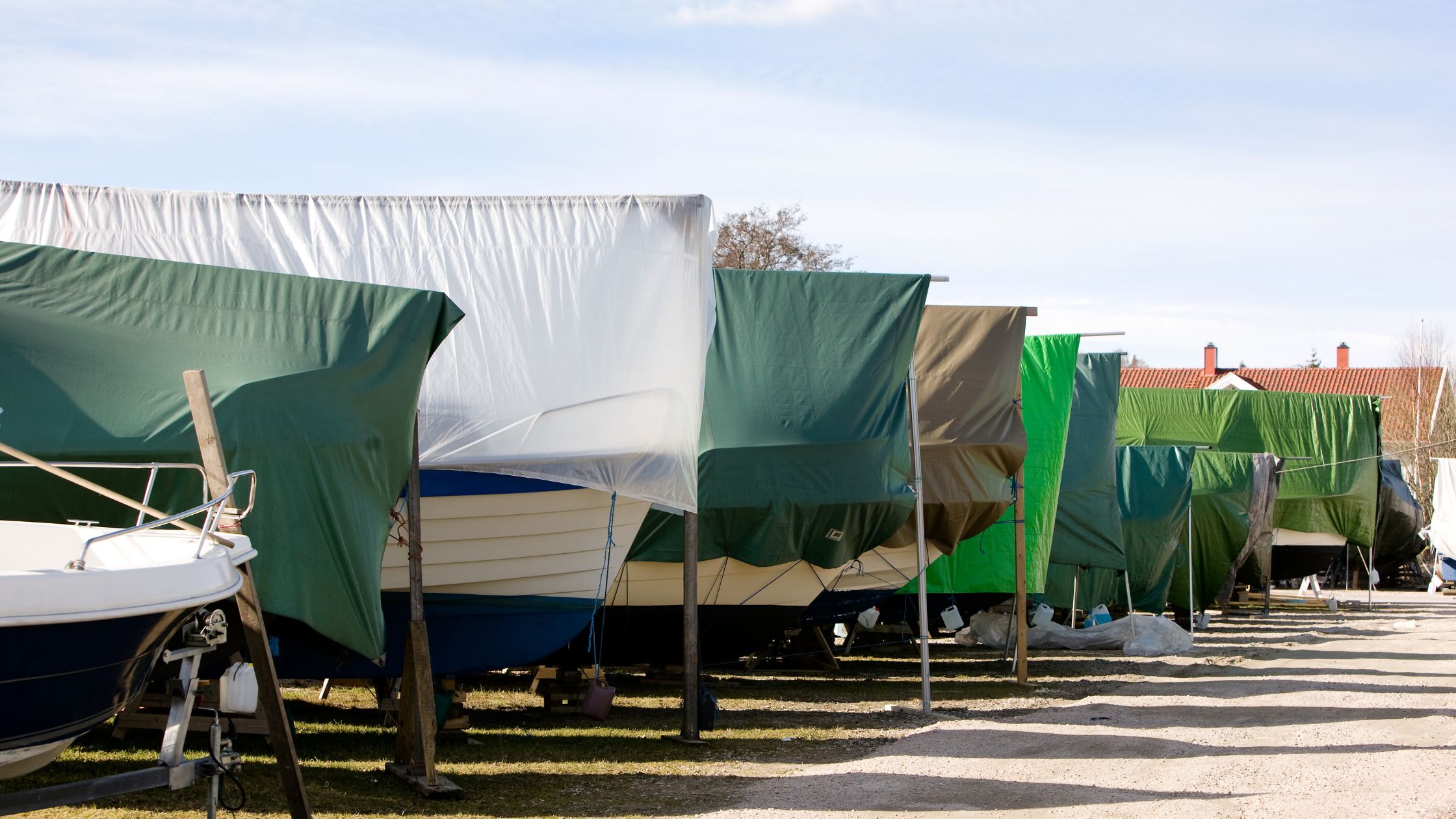
As we begin our seasonal transition to warmer weather, several people have asked about when it’s safe to bring their boats out of winter hibernation. This is a tricky question as every boat and their cooling systems are different. Also, where the boat is kept (on/off water) can be another variable. I can’t answer those questions, but I can provide is the usual temperatures as we move from March into April for the region.
Before we get into that, we need to take a step back and look as the current pattern that is impacting the region. March can be a fickle month with big temperature swings. This is due to the fact that there is still plenty of cold air in Canada, while at the same time we are receiving much more sunshine due to longer days. Big storms, such as the one this Wednesday can bring unseasonably warm temperatures into the region, but as quickly as they rise, they can fall. Temperature swings of 40-50 degrees are not uncommon in March with temperatures falling from the 70s into the 20s with the stronger cold fronts. We are in this type of pattern currently.
The average high temperature in March is around 60 degrees, while the average low is around 33. Breaking this down a bit more shows the following average highs and lows:
- March week 1 – 54/31
- March week 2 – 56/33
- March week 3 – 59/34
- March week 4 – 63/36
By the time we reach April 1st, you would think our chances for below freezing temperatures are done, but the average last freeze for the LKA region is around April 24th. We still have a chance to experience below freezing temperatures after April 24th, but the probabilities really start to drop off. Back in 2002 we had an anomalous pattern that brought freezing temperatures to the region on May 23rd, so it can still get fairly cold well into Spring, if the pattern and conditions are right.
So, looking at just these temperatures, it might be wise to hold off on bringing your boat out of hibernation for several more weeks.
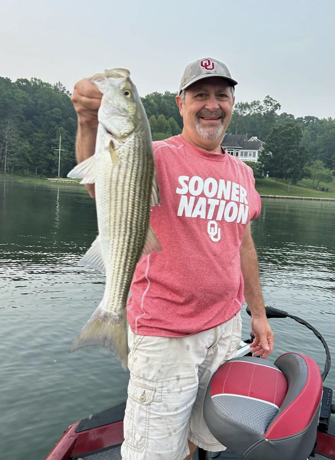
I grew up an Air Force Brat. Traveled the country and lived in Georgia, Maine, New York, Hawaii and Oklahoma.
I fell in love with the weather in Oklahoma. My father was transferred to Tinker AFB in 1973. While in Temporary housing (a mobile home, which is the standard in Oklahoma) I experienced my first severe thunderstorm with strong winds and hail the size of baseballs. The next day I was in the base library looking up books on weather. The rest is history.
I graduated from the University of Oklahoma in 1983 with a Bachelor’s Degree in Meteorology. The first two years we took Calculus, Differential equations, Physics, Chemistry and Computer science classes with the Engineering Students. It was a grind. My degree is actually from the College of Engineering. The last 2-3 year’s focus was on Meteorology including Observational networks (Satellite, Radar, Surface), Physics, Thermodynamics, Dynamics, Synoptic, Winter Weather, Severe Weather and Climatology.
My first job out of college was with a small forecasting company in Oklahoma City. I was immediately put on TV (OETA) and Radio (WKY) as their broadcast Meteorologist. After two years in broadcasting, I decided to pursue the National Weather Service route and got a position in Toledo, OH as an intern. After a couple of years, I was promoted to a forecaster position at the Cleveland Forecast office. I quickly moved into the Weather Preparedness position and was responsible for all the preparedness activities in the state of Ohio.
In 1992 I decided to pursue other forecast opportunities and moved to the Meteorological Operations Division of the National Meteorological Center in Washington, DC. This group is now called WPC (Weather Prediction Center). There I fine-tuned my forecasting of Synoptic Weather with my focus on Heavy Convective Rainfall and Winter Storms, under the supervision of Dr. Louis Uccellini. He has written several books on East Coast Winter storms. I was promoted to a Senior Branch Forecast position during my tenure at MOD. Part of my job was to teach weather classes at COMET (Cooperative Program for Operational Meteorology, Education, and Training).
In 2012 I was given the opportunity to start up a new weather support group with the FAA (Federal Aviation Administration) in Warrenton, VA at the ATCSSC (Air Traffic Control System Command Center). The ATCSCC is where the FAA identifies solutions to air traffic inefficiencies in the NAS (National Air Space) for the CONUS (Continental United State). Weather impacts are the biggest impact on Aviation with yearly losses over 20 billion dollars. My job was to help lower these inefficiencies/costs by providing weather impact briefings and forecasts in order to keep the air planes moving as safely and efficiently as possible.
I retired in 2022 and now am running Lake Anna Weather, LLC.
Subscribe for Updates
Sponsors
latest articles
Plan Ahead for a Safe and Sober Holiday Weekend on the Water [Photo Gallery]
![Featured image for “Plan Ahead for a Safe and Sober Holiday Weekend on the Water [Photo Gallery]”](https://lakeanna.online/wp-content/uploads/2025/06/DFW-RIde-Along-8104.jpg)
Fully Community-Funded Rescue Boat Brings Life-Saving Power to the Water
[Sponsored] Holmes on Homes: Business Built on Trust, Grit and Quality
![Featured image for “[Sponsored] Holmes on Homes: Business Built on Trust, Grit and Quality”](https://lakeanna.online/wp-content/uploads/2025/06/FinalHolmes-1.jpg)
Jet Boat Community Celebrates Service and Safety at 2025 Lake Anna Invasion
Best of Lake Anna Corrections & Announcements

Barometric Tides, Explained
As we begin our seasonal transition to warmer weather, several people have asked about when it’s safe to bring their boats out of winter hibernation. This is a tricky question as every boat and their cooling systems are different. Also, where the boat is kept (on/off water) can be another variable. I can’t answer those questions, but I can provide is the usual temperatures as we move from March into April for the region.
Before we get into that, we need to take a step back and look as the current pattern that is impacting the region. March can be a fickle month with big temperature swings. This is due to the fact that there is still plenty of cold air in Canada, while at the same time we are receiving much more sunshine due to longer days. Big storms, such as the one this Wednesday can bring unseasonably warm temperatures into the region, but as quickly as they rise, they can fall. Temperature swings of 40-50 degrees are not uncommon in March with temperatures falling from the 70s into the 20s with the stronger cold fronts. We are in this type of pattern currently.
The average high temperature in March is around 60 degrees, while the average low is around 33. Breaking this down a bit more shows the following average highs and lows:
- March week 1 – 54/31
- March week 2 – 56/33
- March week 3 – 59/34
- March week 4 – 63/36
By the time we reach April 1st, you would think our chances for below freezing temperatures are done, but the average last freeze for the LKA region is around April 24th. We still have a chance to experience below freezing temperatures after April 24th, but the probabilities really start to drop off. Back in 2002 we had an anomalous pattern that brought freezing temperatures to the region on May 23rd, so it can still get fairly cold well into Spring, if the pattern and conditions are right.
So, looking at just these temperatures, it might be wise to hold off on bringing your boat out of hibernation for several more weeks.

I grew up an Air Force Brat. Traveled the country and lived in Georgia, Maine, New York, Hawaii and Oklahoma.
I fell in love with the weather in Oklahoma. My father was transferred to Tinker AFB in 1973. While in Temporary housing (a mobile home, which is the standard in Oklahoma) I experienced my first severe thunderstorm with strong winds and hail the size of baseballs. The next day I was in the base library looking up books on weather. The rest is history.
I graduated from the University of Oklahoma in 1983 with a Bachelor’s Degree in Meteorology. The first two years we took Calculus, Differential equations, Physics, Chemistry and Computer science classes with the Engineering Students. It was a grind. My degree is actually from the College of Engineering. The last 2-3 year’s focus was on Meteorology including Observational networks (Satellite, Radar, Surface), Physics, Thermodynamics, Dynamics, Synoptic, Winter Weather, Severe Weather and Climatology.
My first job out of college was with a small forecasting company in Oklahoma City. I was immediately put on TV (OETA) and Radio (WKY) as their broadcast Meteorologist. After two years in broadcasting, I decided to pursue the National Weather Service route and got a position in Toledo, OH as an intern. After a couple of years, I was promoted to a forecaster position at the Cleveland Forecast office. I quickly moved into the Weather Preparedness position and was responsible for all the preparedness activities in the state of Ohio.
In 1992 I decided to pursue other forecast opportunities and moved to the Meteorological Operations Division of the National Meteorological Center in Washington, DC. This group is now called WPC (Weather Prediction Center). There I fine-tuned my forecasting of Synoptic Weather with my focus on Heavy Convective Rainfall and Winter Storms, under the supervision of Dr. Louis Uccellini. He has written several books on East Coast Winter storms. I was promoted to a Senior Branch Forecast position during my tenure at MOD. Part of my job was to teach weather classes at COMET (Cooperative Program for Operational Meteorology, Education, and Training).
In 2012 I was given the opportunity to start up a new weather support group with the FAA (Federal Aviation Administration) in Warrenton, VA at the ATCSSC (Air Traffic Control System Command Center). The ATCSCC is where the FAA identifies solutions to air traffic inefficiencies in the NAS (National Air Space) for the CONUS (Continental United State). Weather impacts are the biggest impact on Aviation with yearly losses over 20 billion dollars. My job was to help lower these inefficiencies/costs by providing weather impact briefings and forecasts in order to keep the air planes moving as safely and efficiently as possible.
I retired in 2022 and now am running Lake Anna Weather, LLC.
Subscribe for Updates
Sponsors
latest articles
Plan Ahead for a Safe and Sober Holiday Weekend on the Water [Photo Gallery]
![Featured image for “Plan Ahead for a Safe and Sober Holiday Weekend on the Water [Photo Gallery]”](https://lakeanna.online/wp-content/uploads/2025/06/DFW-RIde-Along-8104.jpg)
Fully Community-Funded Rescue Boat Brings Life-Saving Power to the Water

[Sponsored] Holmes on Homes: Business Built on Trust, Grit and Quality
![Featured image for “[Sponsored] Holmes on Homes: Business Built on Trust, Grit and Quality”](https://lakeanna.online/wp-content/uploads/2025/06/FinalHolmes-1.jpg)
Jet Boat Community Celebrates Service and Safety at 2025 Lake Anna Invasion

Best of Lake Anna Corrections & Announcements

Barometric Tides, Explained


Belmont Ruritan Clubs Award $26,000 in Scholarships to Local Seniors
Article By Jen Bailey

Exclusive Golf Excursions for Cutalong Members
Article By Jen Bailey
