Tuesday morning the National Weather Service (NWS) issued a Fire Weather Watch for the region, for Wednesday. A watch means critical fire weather conditions are possible but not imminent or occurring.
Later Tuesday the watch was upgraded to a Red Flag Warning for the region. Conditions on Wednesday are expected to be supportive of critical fire weather patterns.
This means that the relative humidity will drop significantly Wednesday afternoon into the very dry range of around 20%. Also, temperatures will rise into the 60s. Winds will start gusting late morning and peak during the afternoon hours around 30 mph.
Fires are more likely during late winter and early spring because winds are usually elevated, the relative humidity is lower, the fuels on the forest floor are extremely dry, having “cured” all winter without the shade of tree leaves, and the foliage has not greened up enough to hold water.
Around 85% of fires are human related. Camp fires, open burning, cigarettes/cigars still burning and tossed outside and arson are some of the human causes of wildfires. Lightning is another cause, but there will be no thunderstorms on Wednesday.
Please be vigilant on Wednesday and remember what Smokey Bear said. “Only you can prevent wildfires”.

I grew up an Air Force Brat. Traveled the country and lived in Georgia, Maine, New York, Hawaii and Oklahoma.
I fell in love with the weather in Oklahoma. My father was transferred to Tinker AFB in 1973. While in Temporary housing (a mobile home, which is the standard in Oklahoma) I experienced my first severe thunderstorm with strong winds and hail the size of baseballs. The next day I was in the base library looking up books on weather. The rest is history.
I graduated from the University of Oklahoma in 1983 with a Bachelor’s Degree in Meteorology. The first two years we took Calculus, Differential equations, Physics, Chemistry and Computer science classes with the Engineering Students. It was a grind. My degree is actually from the College of Engineering. The last 2-3 year’s focus was on Meteorology including Observational networks (Satellite, Radar, Surface), Physics, Thermodynamics, Dynamics, Synoptic, Winter Weather, Severe Weather and Climatology.
My first job out of college was with a small forecasting company in Oklahoma City. I was immediately put on TV (OETA) and Radio (WKY) as their broadcast Meteorologist. After two years in broadcasting, I decided to pursue the National Weather Service route and got a position in Toledo, OH as an intern. After a couple of years, I was promoted to a forecaster position at the Cleveland Forecast office. I quickly moved into the Weather Preparedness position and was responsible for all the preparedness activities in the state of Ohio.
In 1992 I decided to pursue other forecast opportunities and moved to the Meteorological Operations Division of the National Meteorological Center in Washington, DC. This group is now called WPC (Weather Prediction Center). There I fine-tuned my forecasting of Synoptic Weather with my focus on Heavy Convective Rainfall and Winter Storms, under the supervision of Dr. Louis Uccellini. He has written several books on East Coast Winter storms. I was promoted to a Senior Branch Forecast position during my tenure at MOD. Part of my job was to teach weather classes at COMET (Cooperative Program for Operational Meteorology, Education, and Training).
In 2012 I was given the opportunity to start up a new weather support group with the FAA (Federal Aviation Administration) in Warrenton, VA at the ATCSSC (Air Traffic Control System Command Center). The ATCSCC is where the FAA identifies solutions to air traffic inefficiencies in the NAS (National Air Space) for the CONUS (Continental United State). Weather impacts are the biggest impact on Aviation with yearly losses over 20 billion dollars. My job was to help lower these inefficiencies/costs by providing weather impact briefings and forecasts in order to keep the air planes moving as safely and efficiently as possible.
I retired in 2022 and now am running Lake Anna Weather, LLC.
Subscribe for Updates
Sponsors
latest articles
Growth Boom: Lake Anna Sees Major Development Milestones

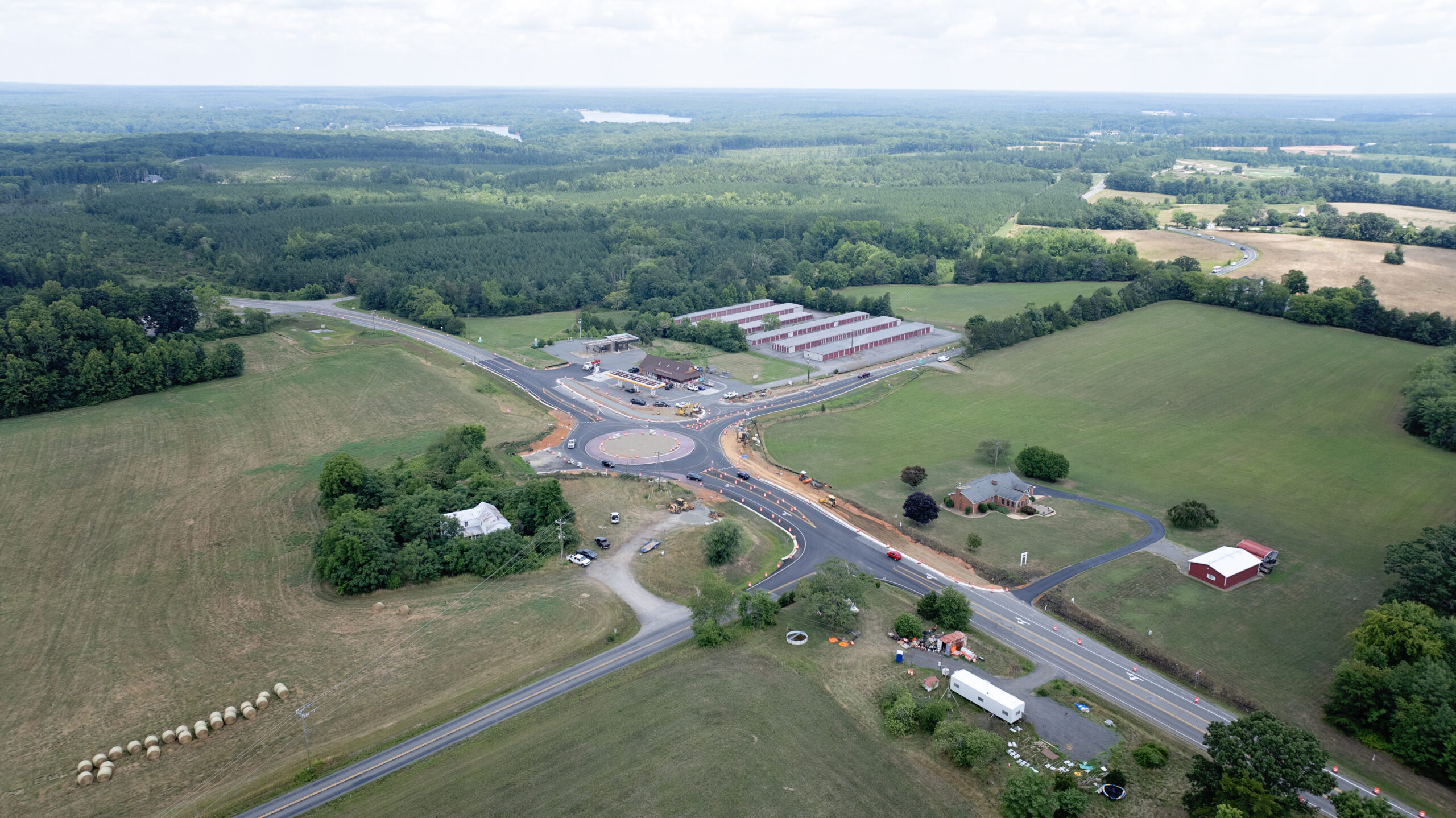
Roundabout Plaza Brings The Lazy Parrot, Pickleball and More in 2025
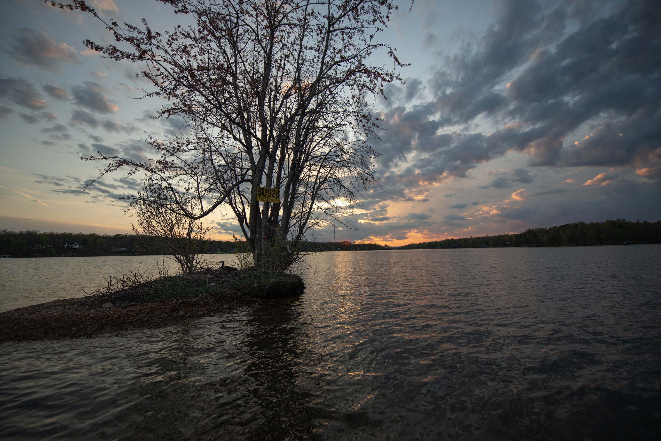
The Legacy of the Rose Valley Island Tree
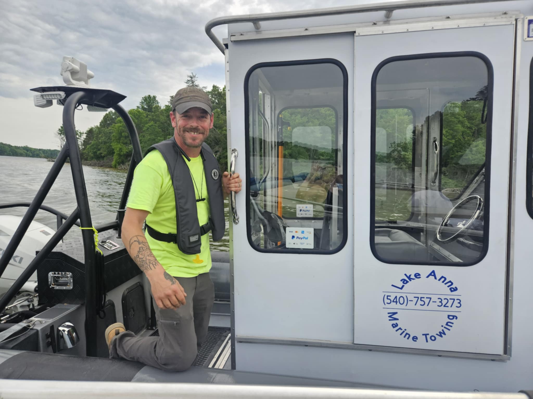
The “Float and Rescue” Rubber Ducky of Lake Anna
The “Dog Days” of Summer

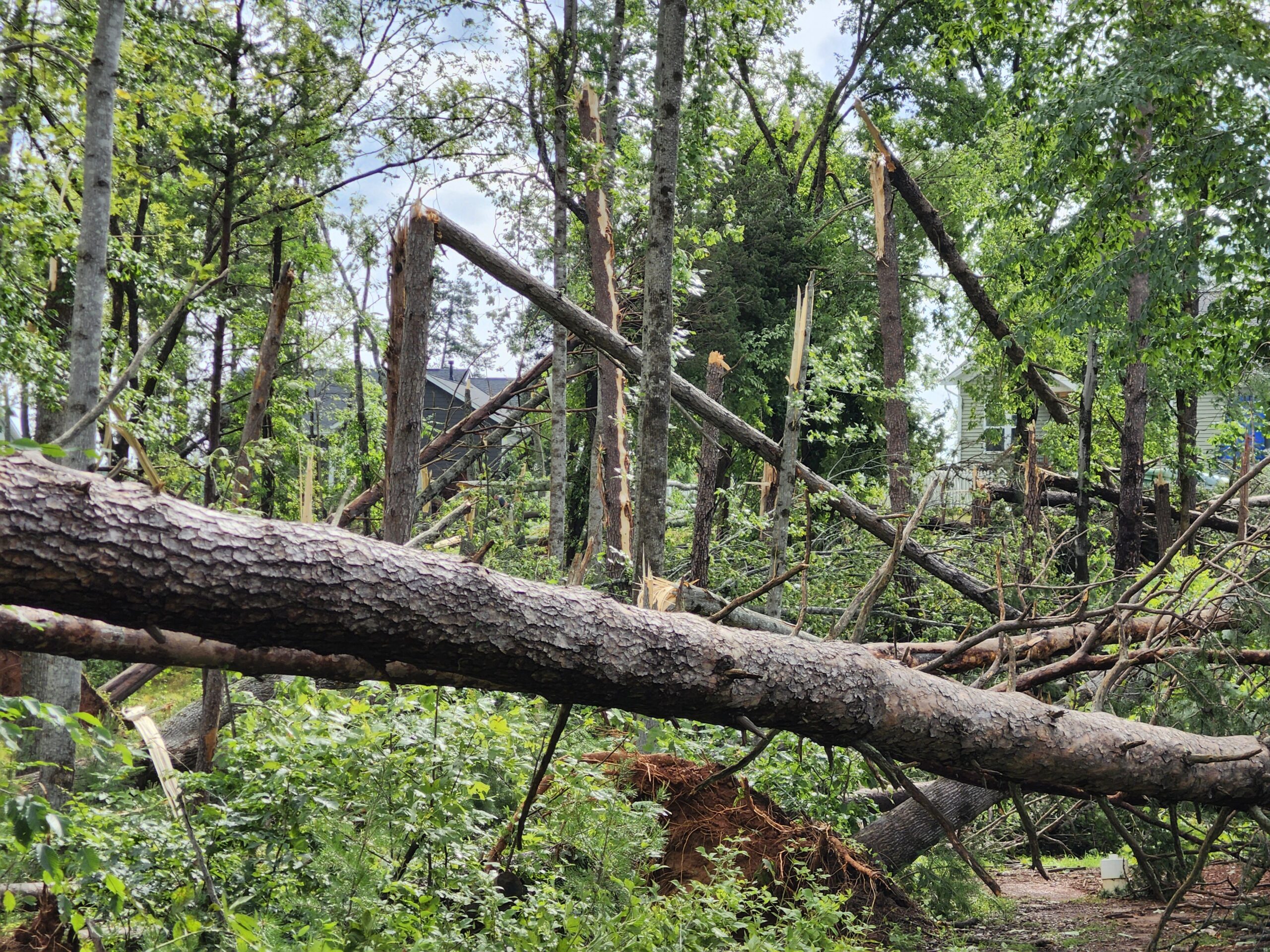
‘Wet Microburst’ Hits Lake Anna
Tuesday morning the National Weather Service (NWS) issued a Fire Weather Watch for the region, for Wednesday. A watch means critical fire weather conditions are possible but not imminent or occurring.
Later Tuesday the watch was upgraded to a Red Flag Warning for the region. Conditions on Wednesday are expected to be supportive of critical fire weather patterns.
This means that the relative humidity will drop significantly Wednesday afternoon into the very dry range of around 20%. Also, temperatures will rise into the 60s. Winds will start gusting late morning and peak during the afternoon hours around 30 mph.
Fires are more likely during late winter and early spring because winds are usually elevated, the relative humidity is lower, the fuels on the forest floor are extremely dry, having “cured” all winter without the shade of tree leaves, and the foliage has not greened up enough to hold water.
Around 85% of fires are human related. Camp fires, open burning, cigarettes/cigars still burning and tossed outside and arson are some of the human causes of wildfires. Lightning is another cause, but there will be no thunderstorms on Wednesday.
Please be vigilant on Wednesday and remember what Smokey Bear said. “Only you can prevent wildfires”.

I grew up an Air Force Brat. Traveled the country and lived in Georgia, Maine, New York, Hawaii and Oklahoma.
I fell in love with the weather in Oklahoma. My father was transferred to Tinker AFB in 1973. While in Temporary housing (a mobile home, which is the standard in Oklahoma) I experienced my first severe thunderstorm with strong winds and hail the size of baseballs. The next day I was in the base library looking up books on weather. The rest is history.
I graduated from the University of Oklahoma in 1983 with a Bachelor’s Degree in Meteorology. The first two years we took Calculus, Differential equations, Physics, Chemistry and Computer science classes with the Engineering Students. It was a grind. My degree is actually from the College of Engineering. The last 2-3 year’s focus was on Meteorology including Observational networks (Satellite, Radar, Surface), Physics, Thermodynamics, Dynamics, Synoptic, Winter Weather, Severe Weather and Climatology.
My first job out of college was with a small forecasting company in Oklahoma City. I was immediately put on TV (OETA) and Radio (WKY) as their broadcast Meteorologist. After two years in broadcasting, I decided to pursue the National Weather Service route and got a position in Toledo, OH as an intern. After a couple of years, I was promoted to a forecaster position at the Cleveland Forecast office. I quickly moved into the Weather Preparedness position and was responsible for all the preparedness activities in the state of Ohio.
In 1992 I decided to pursue other forecast opportunities and moved to the Meteorological Operations Division of the National Meteorological Center in Washington, DC. This group is now called WPC (Weather Prediction Center). There I fine-tuned my forecasting of Synoptic Weather with my focus on Heavy Convective Rainfall and Winter Storms, under the supervision of Dr. Louis Uccellini. He has written several books on East Coast Winter storms. I was promoted to a Senior Branch Forecast position during my tenure at MOD. Part of my job was to teach weather classes at COMET (Cooperative Program for Operational Meteorology, Education, and Training).
In 2012 I was given the opportunity to start up a new weather support group with the FAA (Federal Aviation Administration) in Warrenton, VA at the ATCSSC (Air Traffic Control System Command Center). The ATCSCC is where the FAA identifies solutions to air traffic inefficiencies in the NAS (National Air Space) for the CONUS (Continental United State). Weather impacts are the biggest impact on Aviation with yearly losses over 20 billion dollars. My job was to help lower these inefficiencies/costs by providing weather impact briefings and forecasts in order to keep the air planes moving as safely and efficiently as possible.
I retired in 2022 and now am running Lake Anna Weather, LLC.
Subscribe for Updates
Sponsors
latest articles
Growth Boom: Lake Anna Sees Major Development Milestones

Roundabout Plaza Brings The Lazy Parrot, Pickleball and More in 2025

The Legacy of the Rose Valley Island Tree

The “Float and Rescue” Rubber Ducky of Lake Anna

The “Dog Days” of Summer

‘Wet Microburst’ Hits Lake Anna


Growth Boom: Lake Anna Sees Major Development Milestones
Article By Jen Bailey
Piedmont Christian School Hosts Golf Fundraising Tournament
Article By Jen Bailey


