January 2024 will go down as a month of big temperature swings, along with near record precipitation. After all the winter and warmth, January ended up close to what January is supposed to feel like.
The month started off with fairly normal temperatures, then mother nature said it’s time for winter, with a series of days well below normal. The coldest day was January 17 with a low of 9 and high of 31, which is well below normal. In Sharp contrast, the month ended with a major pattern change and well above normal temperatures, with a peak around 80 degrees on the 26th.
Several Nor’easters brought welcome rains to the region and ended the long drought that began during the spring of 2023. The first one was on the 7th with around 1” of rain. On the 9th, we got around 3” of rain. From the 28-29th the area picked up around 1.5” of rain. The one big storm on the 9th brought too much rain, which pushed LKA to over a foot above normal pool, caused local flooding, and released several untied water craft free and floating on the lake. Several other storms brought light rainfall amounts to the region.
Snow was infrequent, but we received around 3” of snow on January 16th and another ½” on the 19th.
Total rainfall and melted snow were over 6” for the area. Here at LKA Weather HQ I measured 6.67” of rain. A normal January usually sees 2.3” of rain and 3.5” of snow. The snow was right at the normal amounts, while the rainfall was almost three times normal. The attached graphic shows widespread 5-7” amounts with some 8” totals over the NW parts of the LKA basin.
February is starting with a drier a pattern, but that could change as we go through the month due to the breakdown of the Omega Block. Normal rainfall is 2.2” and normal snowfall is 4.2”. February is our snowiest month of the year.

I grew up an Air Force Brat. Traveled the country and lived in Georgia, Maine, New York, Hawaii and Oklahoma.
I fell in love with the weather in Oklahoma. My father was transferred to Tinker AFB in 1973. While in Temporary housing (a mobile home, which is the standard in Oklahoma) I experienced my first severe thunderstorm with strong winds and hail the size of baseballs. The next day I was in the base library looking up books on weather. The rest is history.
I graduated from the University of Oklahoma in 1983 with a Bachelor’s Degree in Meteorology. The first two years we took Calculus, Differential equations, Physics, Chemistry and Computer science classes with the Engineering Students. It was a grind. My degree is actually from the College of Engineering. The last 2-3 year’s focus was on Meteorology including Observational networks (Satellite, Radar, Surface), Physics, Thermodynamics, Dynamics, Synoptic, Winter Weather, Severe Weather and Climatology.
My first job out of college was with a small forecasting company in Oklahoma City. I was immediately put on TV (OETA) and Radio (WKY) as their broadcast Meteorologist. After two years in broadcasting, I decided to pursue the National Weather Service route and got a position in Toledo, OH as an intern. After a couple of years, I was promoted to a forecaster position at the Cleveland Forecast office. I quickly moved into the Weather Preparedness position and was responsible for all the preparedness activities in the state of Ohio.
In 1992 I decided to pursue other forecast opportunities and moved to the Meteorological Operations Division of the National Meteorological Center in Washington, DC. This group is now called WPC (Weather Prediction Center). There I fine-tuned my forecasting of Synoptic Weather with my focus on Heavy Convective Rainfall and Winter Storms, under the supervision of Dr. Louis Uccellini. He has written several books on East Coast Winter storms. I was promoted to a Senior Branch Forecast position during my tenure at MOD. Part of my job was to teach weather classes at COMET (Cooperative Program for Operational Meteorology, Education, and Training).
In 2012 I was given the opportunity to start up a new weather support group with the FAA (Federal Aviation Administration) in Warrenton, VA at the ATCSSC (Air Traffic Control System Command Center). The ATCSCC is where the FAA identifies solutions to air traffic inefficiencies in the NAS (National Air Space) for the CONUS (Continental United State). Weather impacts are the biggest impact on Aviation with yearly losses over 20 billion dollars. My job was to help lower these inefficiencies/costs by providing weather impact briefings and forecasts in order to keep the air planes moving as safely and efficiently as possible.
I retired in 2022 and now am running Lake Anna Weather, LLC.
Subscribe for Updates
Sponsors
latest articles
Lake Anna Development Continues: Data Centers, Dominion Updates, Roundabout Plaza, New Golf Course & Phosphorus and Hydrilla Management Reports at the 2026 Lake Anna Summit

From Louisa County to Hospital Halls: How Virginia Poodles & Doodles Is Making a Broader Impact

Lake Anna Waterfront Property | Custom Lake Home for Sale | Lake Anna, VA

Puppy Culture, Playgrounds & Early Foundations: How Virginia Poodles & Doodles Raises Confident Companions [Sponsored]
![Featured image for “Puppy Culture, Playgrounds & Early Foundations: How Virginia Poodles & Doodles Raises Confident Companions [Sponsored]”](https://lakeanna.online/wp-content/uploads/2026/02/3-scaled.jpg)
The Lion’s Den 1837 Celebrates First Anniversary With Black Tie Evening of Fine Dining and Jazz

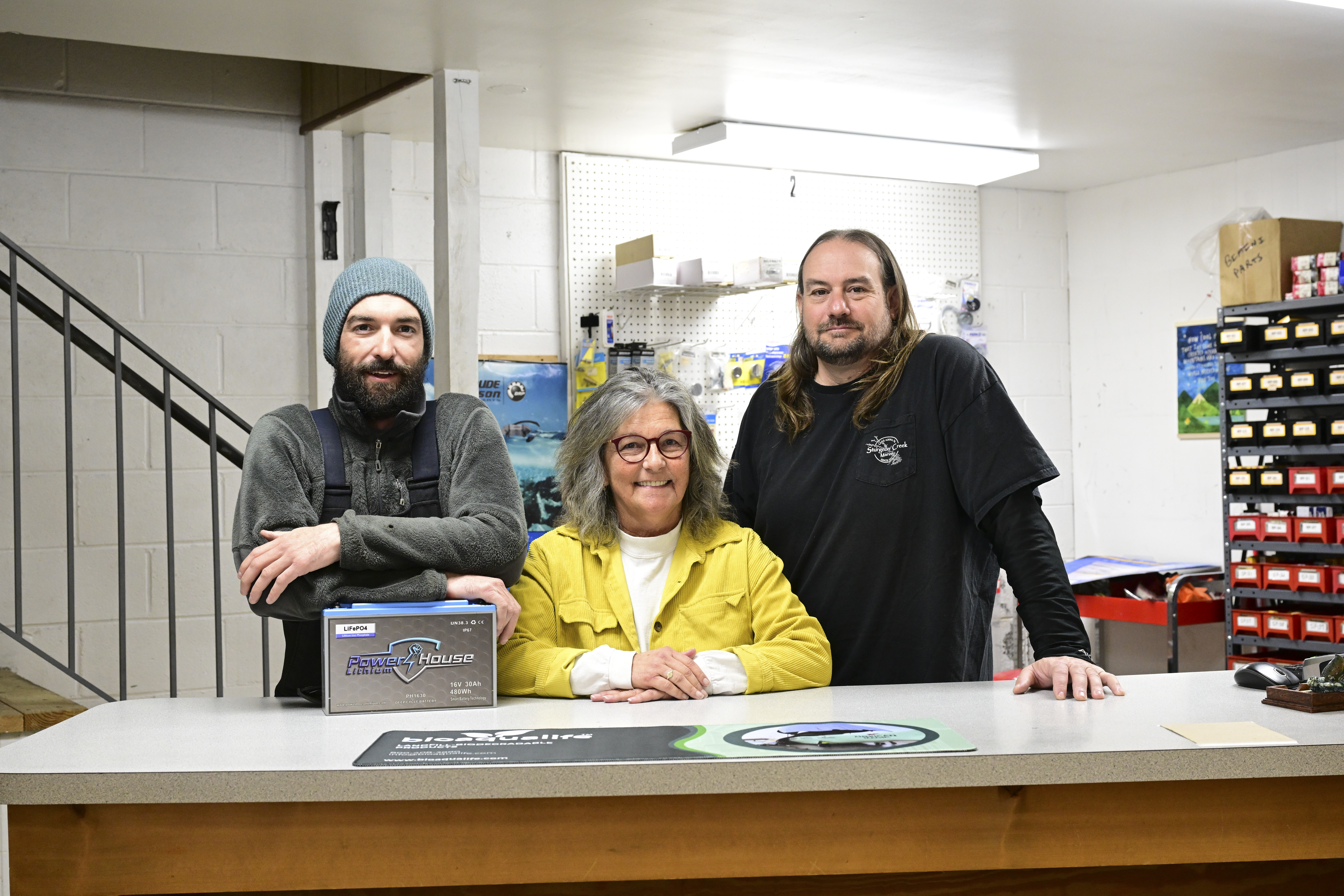
Five Decades of Innovation in Fishing, and Boating Sustainability at Lake Anna

January 2024 will go down as a month of big temperature swings, along with near record precipitation. After all the winter and warmth, January ended up close to what January is supposed to feel like.
The month started off with fairly normal temperatures, then mother nature said it’s time for winter, with a series of days well below normal. The coldest day was January 17 with a low of 9 and high of 31, which is well below normal. In Sharp contrast, the month ended with a major pattern change and well above normal temperatures, with a peak around 80 degrees on the 26th.
Several Nor’easters brought welcome rains to the region and ended the long drought that began during the spring of 2023. The first one was on the 7th with around 1” of rain. On the 9th, we got around 3” of rain. From the 28-29th the area picked up around 1.5” of rain. The one big storm on the 9th brought too much rain, which pushed LKA to over a foot above normal pool, caused local flooding, and released several untied water craft free and floating on the lake. Several other storms brought light rainfall amounts to the region.
Snow was infrequent, but we received around 3” of snow on January 16th and another ½” on the 19th.
Total rainfall and melted snow were over 6” for the area. Here at LKA Weather HQ I measured 6.67” of rain. A normal January usually sees 2.3” of rain and 3.5” of snow. The snow was right at the normal amounts, while the rainfall was almost three times normal. The attached graphic shows widespread 5-7” amounts with some 8” totals over the NW parts of the LKA basin.
February is starting with a drier a pattern, but that could change as we go through the month due to the breakdown of the Omega Block. Normal rainfall is 2.2” and normal snowfall is 4.2”. February is our snowiest month of the year.

I grew up an Air Force Brat. Traveled the country and lived in Georgia, Maine, New York, Hawaii and Oklahoma.
I fell in love with the weather in Oklahoma. My father was transferred to Tinker AFB in 1973. While in Temporary housing (a mobile home, which is the standard in Oklahoma) I experienced my first severe thunderstorm with strong winds and hail the size of baseballs. The next day I was in the base library looking up books on weather. The rest is history.
I graduated from the University of Oklahoma in 1983 with a Bachelor’s Degree in Meteorology. The first two years we took Calculus, Differential equations, Physics, Chemistry and Computer science classes with the Engineering Students. It was a grind. My degree is actually from the College of Engineering. The last 2-3 year’s focus was on Meteorology including Observational networks (Satellite, Radar, Surface), Physics, Thermodynamics, Dynamics, Synoptic, Winter Weather, Severe Weather and Climatology.
My first job out of college was with a small forecasting company in Oklahoma City. I was immediately put on TV (OETA) and Radio (WKY) as their broadcast Meteorologist. After two years in broadcasting, I decided to pursue the National Weather Service route and got a position in Toledo, OH as an intern. After a couple of years, I was promoted to a forecaster position at the Cleveland Forecast office. I quickly moved into the Weather Preparedness position and was responsible for all the preparedness activities in the state of Ohio.
In 1992 I decided to pursue other forecast opportunities and moved to the Meteorological Operations Division of the National Meteorological Center in Washington, DC. This group is now called WPC (Weather Prediction Center). There I fine-tuned my forecasting of Synoptic Weather with my focus on Heavy Convective Rainfall and Winter Storms, under the supervision of Dr. Louis Uccellini. He has written several books on East Coast Winter storms. I was promoted to a Senior Branch Forecast position during my tenure at MOD. Part of my job was to teach weather classes at COMET (Cooperative Program for Operational Meteorology, Education, and Training).
In 2012 I was given the opportunity to start up a new weather support group with the FAA (Federal Aviation Administration) in Warrenton, VA at the ATCSSC (Air Traffic Control System Command Center). The ATCSCC is where the FAA identifies solutions to air traffic inefficiencies in the NAS (National Air Space) for the CONUS (Continental United State). Weather impacts are the biggest impact on Aviation with yearly losses over 20 billion dollars. My job was to help lower these inefficiencies/costs by providing weather impact briefings and forecasts in order to keep the air planes moving as safely and efficiently as possible.
I retired in 2022 and now am running Lake Anna Weather, LLC.
Subscribe for Updates
Sponsors
latest articles
Lake Anna Development Continues: Data Centers, Dominion Updates, Roundabout Plaza, New Golf Course & Phosphorus and Hydrilla Management Reports at the 2026 Lake Anna Summit

From Louisa County to Hospital Halls: How Virginia Poodles & Doodles Is Making a Broader Impact

Lake Anna Waterfront Property | Custom Lake Home for Sale | Lake Anna, VA

Puppy Culture, Playgrounds & Early Foundations: How Virginia Poodles & Doodles Raises Confident Companions [Sponsored]
![Featured image for “Puppy Culture, Playgrounds & Early Foundations: How Virginia Poodles & Doodles Raises Confident Companions [Sponsored]”](https://lakeanna.online/wp-content/uploads/2026/02/3-scaled.jpg)
The Lion’s Den 1837 Celebrates First Anniversary With Black Tie Evening of Fine Dining and Jazz

Five Decades of Innovation in Fishing, and Boating Sustainability at Lake Anna

Spotsylvania Tourism Growth Outpaces Statewide Averages with 35% Surge Since 2019
Article By Jen Bailey
![Featured image for “[Spotsylvania] New Speed Enforcement in School Zones”](https://lakeanna.online/wp-content/uploads/2025/09/Blog-pic-scaled.jpg)
[Spotsylvania] New Speed Enforcement in School Zones
Article By Jen Bailey


